- Body
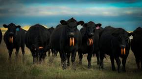
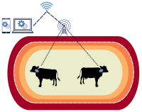
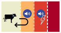
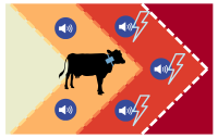
Virtual fence (VF) has the potential to change grazing systems by allowing unprecedented impact over livestock distribution. The systems use invisible barriers, established by Global Positioning System (GPS) coordinates, to influence livestock movement with a combination of auditory and electrical cues without a physical fence. VF can be also be complicated and expensive.
This digital guide was created to provide practical, unbiased, vendor-neutral, and realistic information about VF.
The University of Arizona is seeking a graduate student to study VF and animal welfare. Learn more.
Foundations of VF
- Virtual fence (VF) is an emerging precision livestock management tool with multiple interconnected components.
- Examining the costs and benefits of adopting a VF system in a cow-calf operation under different vendors and conditions.
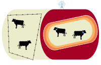
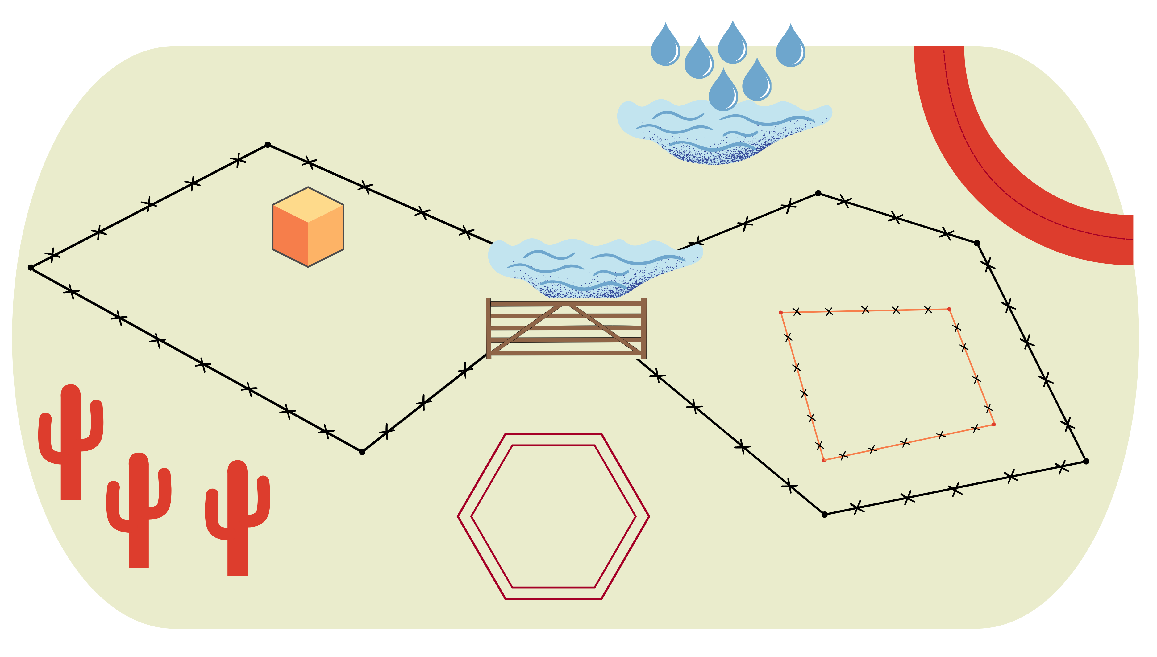
- Virtual fence lines are created in VF software, which requires a digital map of an entire ranch or land management area.
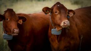
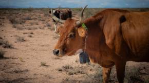
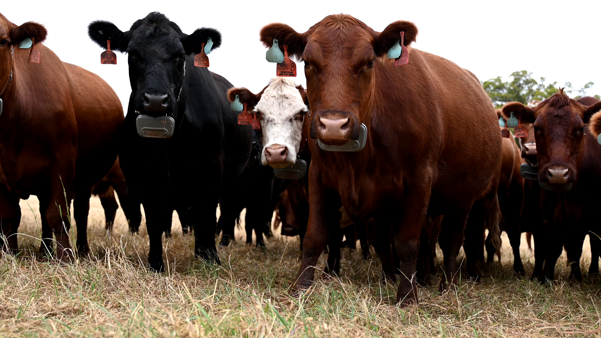
- Equipment needed, strategies for proper fit, and safety when placing virtual fence collars on livestock.
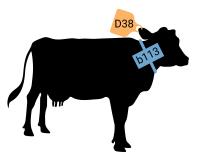
- Details on the attachment mechanisms, collar assembly, required deployment tools, and proper collar fit for each vendor.

- How livestock recognize and interpret the auditory and electrical cues can limit potential risks for animal health and welfare.
Battery life, collar disposal, strategies for collection in the field, and data organization.
- Special consideration is needed when training livestock, designing fences, managing incentives, and gathering livestock.
Tools
- Concise answers to common questions asked by people interested in virtual fence systems.
- View and read infographics about virtual fence.
- A basic comparison of virtual fence vendors including software, type of communication, collar battery, herd size, pasture size, upfront and ongoing co…
- Learn about the progress, challenges, and future considerations of VF from members of the Virtual Fence Working Group.
- Compare the cost of VF systems and physical fence in different scenarios.
- How to convert a stationary base station into a mobile base station.
- Plot the best location for a single base station. Requires ArcGIS Pro with the Spatial Analyst extension enabled.
- Access geographic data from various state and federal agencies.
- Explore the boundaries of virtual fencing with handouts and presentations from the Arizona-based workshop series.
Featured Resources From the Database
- Journal Issue/Article
Virtual fence (VF) is the use of a global positioning system (GPS) to dictate where on the landscape livestock can graze without relying on traditional physical fence such as…
- Journal Issue/Article
Virtual fencing is a method of controlling animals without ground-based fencing. Control occurs by altering an animal's behaviour through one or more sensory cues administered…
- Technical Report
This fact sheet provides a basic understanding of virtual fencing technology and how it may be used to manage grazing livestock. Virtual fence technology research and development…
- Technical Report
Virtual fencing (VF) is tool for livestock management that uses collars and a radio or cellular system to influence the movement of livestock using auditory and electrical…