- Body
Monitoring is the best way to evaluate what impact the management strategies of your operation have on the rangeland. Pasture and rangeland monitoring should be a systematic, structured approach to tracking changes in plant communities over time. Before you begin the process of monitoring, it is important to understand why you are monitoring and to establish some well-defined goals for your monitoring program.
Setting a Monitoring Goal
Why Monitor Rangelands
- Early Warning: Rangeland health deteriorates before livestock production or other uses decline. Further, changes in rangeland health usually occur gradually. Often human memory cannot detect changes until reminded by a historic photograph or some other artifact. Monitoring can tell you if you are moving in an undesirable direction in time to make a necessary change.
- Know if You are Reaching Your Goals? Monitoring will reveal if you are truly meeting your management goals and objectives, and help evaluate the benefits received from changes in management or range improvements.
- Have Data to Back You Up: Well-designed monitoring programs provide a record of responsible stewardship and success stories that can defend your management, and/or encourage other land managers to monitor.
- Enrich Your Knowledge: Monitoring can help you learn more about range plants and how they interact with each other and respond to grazing.
Where to Monitor
Select a monitoring location. For many, deciding the location of plots seems to be the hardest part of monitoring. Fortunately, there are some basic guidelines we can follow to ensure that our monitoring locations are in line with our goals and objectives and will provide information that truly reflects what we want to monitor.
Note that if you are monitoring on a public allottment and setting up new plots, it is essential to coordinate among permittee (if managing livestock) and range conservationists to agree to a location. Make sure the location(s) reflects areas of resource concerns. The data you collect will only be as meaningful to the degree that you agree on where to monitor, and agree that this location reflects resources concerns of all parties managing an allottment.
Start with the big picture. Not all rangeland is created equal, and we should compare apples to apples. There are several ways to classify land areas: such as by land use, vegetation (current or historic), soils, or climate. The most current and widely used rangeland classification system is the ecological site. An ecological site — also referred to as "range site" — is an area with similar soil and climate conditions. These conditions determine the kind and amount of vegetation produced on that site. Monitoring sites should be selected to represent the different types of ecological sites on the unit.
Now we have to ask the more specific question of where within these ecological sites we are going to establish the monitoring plot. The selection of study site should clearly reflect the management or monitoring objectives. For example, if monitoring riparian vegetation, the monitoring site should be located in a riparian area.
Selection criteria. Criteria used for selecting sites are generally based on seral state of plant community, topography, location of water, fences and natural boundaries, areas of animal concentration, and presence of species of interest. Also consider kinds of statistical comparisons or intended interpretations.
All these criteria help us to identify key and critical areas to monitor.
- Key areas are a portion of land which serve as an indicator of land conditions, trends, or degree of seasonal use by animals because of location, grazing or browsing value, or topography. These key areas are considered indicators of what is happening on a larger area as a result of on-the-ground management actions.
- Critical areas are units that contain unique or special values, such as fragile watersheds, sage-grouse nesting grounds, riparian areas, and habitats with rare plants.
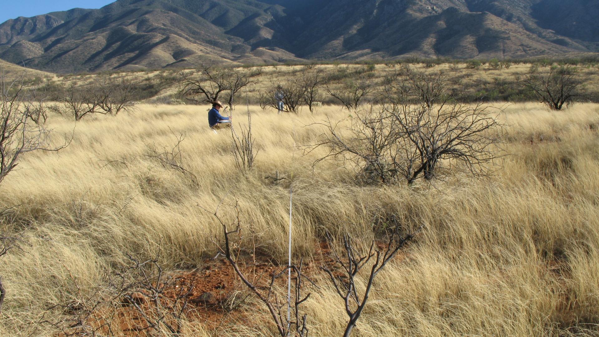
Remember, monitoring sites must always be clearly mapped and documented. In other words, use GPS, explain somewhere in your survey notes why and how you selected the sites for evaluation, and consider marking it with a T-post or other marker.
What to Monitor
Vegetation and Soil Attributes. There are many ways to measure plants and vegetation, but, there are only about 6 "attributes" that are commonly measured. Vegetation attributes are characteristics of an individual plant, plant species, type of plant (e.g., grass, forb, shrub), or plant community that can be measured or quantified. That is, how many, how much, or what kind of plant species or type are present. The most commonly used attributes are:
- Plant species or type - Which species or what type of plant is it?
- Frequency - Is the plant there or not?
- Density - The number of plants per unit of area.
- Biomass - How much do the plants in a given area weigh?
- Cover - How much of the ground surface do the plants cover? This can be stated as an absolute spatial amount (e.g., 24-m2) or as the percent of an area.
- Structure - How tall were the plants and how were branches and leaves arranged?
We can also make observations about the health, condition, or vigor of individual plants or plants communities, how much of the current year’s growth was used by grazing animals. And we can combine the above attributes to create variables such as species composition, biodiversity of the site, or similarity with historic measurements or other sites.
Photopoints. Properly located photopoints can provide useful information in addition to any other monitoring that is done. Photos of the same area, across time, should be taken from the same point, in the same direction, at the same time of year or growth stage and day, and with the same focal length. This helps insure high comparability among pictures across years. Ideally, a stake or other marker is placed in the ground to facilitate repeat photography. Care should be taken to use stakes that will not harm animals or people or attract animals to the site. Landscape and close-up photos provide useful information. Photopoints should be located in key areas that will reflect changes in management actions. To be most useful, the photographer should use a written card describing the location, date, and other useful information that is placed in the field of view. The photographer should keep notes on anything observed at the time of the photo.
Comparing photographs (close-up or general view) of the same area taken over a period of years helps document changes in the soil and plant community.
Riparian Areas. The ribbons of green between the uplands and the water are riparian areas. The green vegetation and cool shade make these areas attractive to livestock and wildlife. Therefore, use of plants in these areas should be closely monitored to ensure adequate and appropriate vegetation exists to maintain ecological processes.
Grazing Records. Records of where and how long livestock graze in an area can determine if an area is being overgrazed or underutilized. Monitoring the amount of forage used by livestock each year, and where in a grazing allotment that use occurs, will help determine if changes are needed in stocking rate, the grazing schedule, the location of supplements, or changes in management to improve the distribution of livestock. Various monitoring methods have been developed to measure grazing animal use. The two main methods are utilization and stubble height.
- Utilization by grazing animals is the proportion of current year forage production that is eaten or trampled. Utilization is an index of grazing impact to the land that can help a rancher achieve his objectives. Measuring utilization on 2 to 3 key forage species each year will help you understand how your animals are grazing in an area and how much they are consuming of key plants. It will tell you if you need to move animals out of a pasture sooner or if some areas are receiving excessively heavy or insufficiently light grazing.
- Stubble height measures the height of the vegetation left at the end of the grazing season. The target amount of stubble left is normally based on management objectives.
Climate and Weather Patterns. Temperature and precipitation records can provide information that helps understand why the particular changes documented by a monitoring program occurred. Changes in vegetation, soils, and riparian areas can occur from many processes, not just livestock grazing or other land uses. Extreme weather events, or longer term changes in the climate, particularly the amount and timing of precipitation, can have profound effects on plant communities across time. A good understanding of how your rangeland responds to precipitation patterns can improve your ability to make needed adjustments in stocking rate or grazing system.
Data on precipitation and climate are available at the sites below, and also available through state or local resources.
Featured Resources From the Database
- Journal Issue/Article
Quantitative monitoring to detect trends in achieving resource management objectives is the foundation for the adaptive management process. Trend is the direction of change in…
- Technical Report
This technical reference applies to monitoring situations involving a single plant species, such as an indicator species, key species, or weed. It was originally developed for…
- Technical Report
Rangelands—grasslands, forests and woodlands that support livestock grazing—are found across much of the western United States. These rangelands supply the bulk of the forage for…