Get reliable rangeland science

The Rangeland Hydrology and Erosion Model Web Tool (RHEM)

The RHEM Web Tool is a web-based interface for the Rangeland Hydrology and Erosion Model (RHEM). The interface allows users to input commonly known rangeland characteristics and use parameter estimation equations to construct model input files and run the RHEM model. RHEM is designed to provide sound, science-based technology to model and predict runoff and erosion rates on rangelands and to assist in assessing rangeland conservation practice effects.

Rangeland Restoration Research: The impact of rock check dams in southern Arizona - photo and publication archive

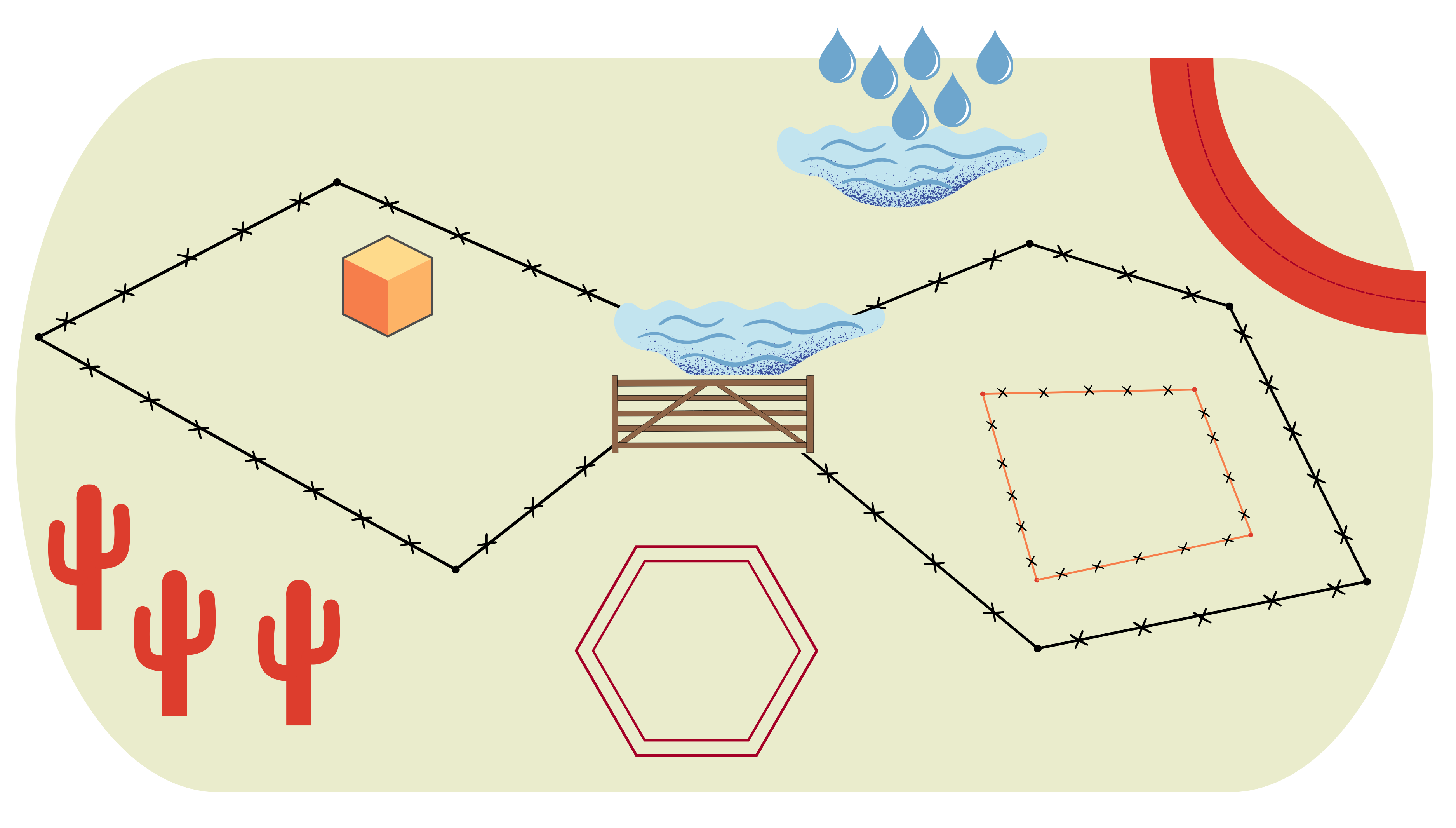
This Arc GIS StoryMap shows the impact rock check dams had at the Santa Rita Experimental Range (SRER) in southeastern Arizona. It can serve as a tool to help land managers decide if, when, and how to deploy check dams based on their impacts on watershed health. It can also help researchers learn about the effects of these erosion control structures and develop future research projects. The StoryMap highlights the work of researchers at the USDA-ARS Southwest Watershed Research Center that began in 2008.

South Dakota Range Management Workshop

Seminar
Deadwood, SD
Hosts: SD Section - Society for Range Management (SD SRM), SDSU Extension, NRCS, USFS, BLM
Sponsors: Bird Conservancy of the Rockies, Pheasants Forever

The 2023 Range Workshop will be focused on invasive species! As always, heavy hands-on/in the field work will be central to the workshop. Outside speakers are being invited to provide additional expertise and insights.

Registration: Required by June 21. The cost to attend the workshop is $150. There is an online processing fee of $5. Register and pay by CC at: https://www.sdrangelands.com/index.html - click on the "Activities" tab.

Hotel blocks: 10 rooms at the Days Inn Sturgis at a rate of $99/night (605-206-3077); 10 rooms at the Super 8 in Sturgis (605-347-4447) at a rate of $75/night; 15 rooms at the Baymont in Sturgis at a rate of $129-$159/night (605-206-5400). Call and request “Range Camp” or “Range Workshop” block. Block rates are available starting June 26 and ending June 29.

Contact Krista Ehlert, krista.ehlert@sdstate.edu with questions.

Virtual Fence User Guide

Virtual Fence User Guide

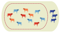
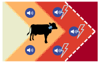
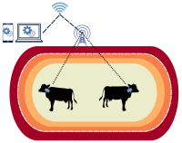
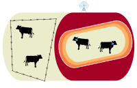
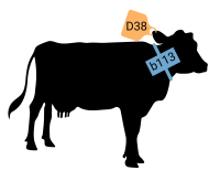
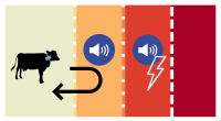
Virtual fence (VF) has the potential to change grazing systems by allowing unprecedented impact over livestock distribution. The systems use invisible barriers, established by Global Positioning System (GPS) coordinates, to influence livestock movement with a combination of auditory and electrical cues without a physical fence. VF can be also be complicated and expensive. 

This digital guide was created to provide practical, unbiased, vendor-neutral, and realistic information about VF.

Foundations of VF

  • Virtual fence (VF) is an emerging precision livestock management tool with multiple interconnected components.
     VF components include software, base stations, and collars
  • Examining the costs and benefits of adopting a VF system in a cow-calf operation under different vendors and conditions. 

    comparing virtual fence and physical fence

  • Virtual fence lines are created in VF software, which requires a digital map of an entire ranch or land management area.

    landmarks to map on your ranch

  • coming soon. Equipment needed, strategies for proper fit, and safety when placing virtual fence collars on livestock.

    cow wearing a collar

  • How livestock recognize and interpret the auditory and electrical cues can limit potential risks for animal health and welfare.

    after training, livestock turn away from cues

  • Battery life, collar disposal, strategies for collection in the field, and data organization.

    virtual herds shown in different colors

  • Special consideration is needed when training livestock, designing fences, managing incentives, and gathering livestock.

    Acute virtual fence lines are challenging

  • Concise answers to common questions asked by people interested in virtual fence.

    Frequently asked questions

Michael Stauder

Avian Knowledge Network Phenology Tool

The Phenology Tool, created by the Borderlands Avian Data Center/Avian Knowledge Network, generates graphs that provide our best understanding of when birds of interest are most likely to be present in a selected area. By selecting a geographic area and a species of interest, the tool queries the publicly available data sets in the Borderlands Avian Data Center (BADC). Observation data are fed into Abundance and Probability of Presence Models to generate a graph, providing a summary of what species are present in that area and at what likelihood during different times of the year.